Check-Ins
| When? | Who? | Comment | Place | Location |
|---|---|---|---|---|
|
1skiphall
|
Very nice young man (owner?) who checked me in. I called same day and they had a 30amp pull through waiting for me. $38 + tax (includes Good Sam Discount which you don’t have to ask for - they also have additional military and first responder discounts). had everything I needed, only areas to focus on: bathroom facilities were outdated/old/small (but plenty of hot water). Didn’t use wifi - Verizon cell worked well. There seem to be many “full timers” so it looks a bit crowded but generally it has been quiet. Services: 24/7 laundry (you need to pay), showers (just one shower and one stall), they sell propane on site. |
Oregon Trail campground | 42.54968, -114.42723 | |
|
adventurehaks.com
|
15€ for two people and tent. I’m sure this place is nicer during high season, but in November was not maintained very well. |
Mani Beach | 36.72795, 22.54595 | |
|
sibrito1976
|
Vale Silvestre Eco Park Estrada Pico do Ibituruna Zona Rural S/n Village do Sol S/n Zona Rural - Village do Sol, MG, 35010-030 |
Vale Silvestre | -22.32699, -43.17235 | |
|
Mountain Joe
|
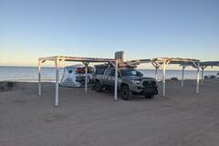
November 10th only one other camper nice quiet location campsites are on a bluff overlooking the beach beach access 400 pesos to dry camp. Flies were terrible anytime you tried to eat. |
Playa Del Sol Campground | 31.09107, -114.86844 | |
|
||||
|
haderka56442
|
Very very beautiful campsite! The way is, like the other posts already said, a bit challenging in the end but with a 4x4 no problem at all!
|
Kentrout | 0.06612, 37.25112 | |
|
TRAVELcandies-On-Tour
|
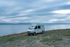
At first we checked out the place on the tip (small peninsula), but it was completely full of billions of small flies.
|
Good place, if you won't find anything else | 38.62380, 43.15451 | |
|
||||
|
nicholas
|
Don't expect a quiet ocean parking lot. Arrived around 4PM and until 1AM there were truck(s) blasting music at full volume with all their doors open. Cars pulling in and out all the time, motorcycles revving, place was crazy.This was on a Wednesday night. |
Puerto San José | 23.01530, -109.72289 | |
|
n.simml
|
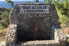
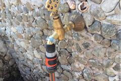
High pressure water tap right next to the road. And the view is awesome, too. |
Water tap next to road | 36.30252, 35.79154 | |
|
||||
|
saschawill4.home.blog
|
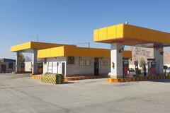
Zigeuner!!!
|
Petrol station | 30.43471, 57.01224 | |
|
||||
|
Juanchopp
|
spend one night. all right. toilets open. |
AXION | -31.98080, -64.55147 | |
|
atireiopaunografico
|
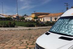
A very wide street in front of Largo do Rosário, we parked in front of the iphan. No facilities but very nice spot downtown. Please look for the people of IPHAN for internet and water |
Largo do Rosário | -13.57829, -41.81139 | |
|
||||
|
mattmargulies
|
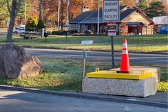
CLOSED! Such a bummer since previous user was here less than 2 weeks ago. Also a bummer since no a lot of dump stations around here. |
Wallingford Rest Area | 41.45983, -72.78034 | |
|
||||
|
davidf31415926
|
As described. large grass area for animals. Problem is there's a huge amount of traffic and people stopping by at all hours of the night to throw away their household trash. (probably locals). it's also a bus pickup location so a bus pulls up every hour with a strobe light and idles for 20 minutes. I wouldn't stay here again but you're mileage may vary. happy travels |
Soco Falls pull off | 35.49294, -83.16071 | |
|
Trota Glober
|
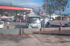
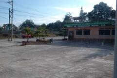
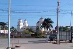
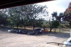
Lugar seguro para estacionar al lado de la gasolinera por tanqueo te permiten estacionamiento y camping, nosotros no tanqueamos pero pagamos 30 Quetzales y nos permitieron estacionar, nos quedamos 2 noches muy tranquilas, tienen agua potable, baños, hay lugares de comidas en los alrededores, y puedes ir a visitar el parque zoológico Cueva de las Minas que se encuentra a unos 10 minutos en caminata ó si prefieres tomas el bus del Zoo que es gratis, pero te recomiendo la caminata y disfrutas de unos puntos mas arriba para sacar buenas fotos, en el parque puedes comprar tu comida ó llevar para preparar allá.
|
Texaco gas station | 14.55962, -89.35226 | |
|
||||
|
Explore Beyond Limit
|
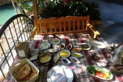
Nice filling Turkish breakfast sitting by the river for 55 TL including tea. See photo attached. |
Koy Kahvalti | 36.93293, 34.90226 | |
|
||||
|
instagram.com/p.o.dubois
|
The Intermarché grocery have a fuel station, a dump station and a water station. |
Intermarché | 37.01551, -8.94082 | |
|
saschawill4.home.blog
|
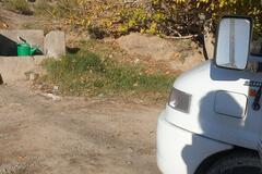
very good water
|
Syrch : Water tap | 30.20183, 57.55960 | |
|
||||
|
ugliek
|
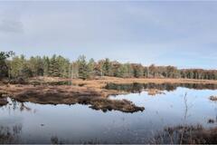
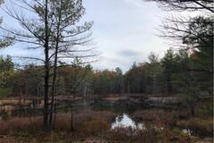
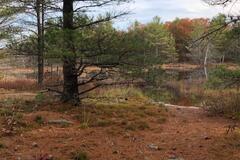
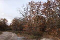
Beautiful, secluded location. Water views, fire pit. Requires 4x4 to access. Access via GSP coordinates (44.61019, -77.99902). See last photo for access entry point. |
Tiger Lily | 44.61164, -78.00014 | |
|
||||
|
ugliek
|
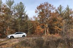
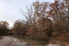
Just off the road, accessible by car with walking access to a few more secluded sites (ie. Tiger lily) which have fire pits and water views. Stayed one night in vehicle, very quiet at night, minimal traffic. Some ATV activity. |
Crown Land | 44.61019, -77.99902 | |
|
||||
|
Caramujito_Pantaneiro
|
Posto muito bom. Tem água e energia exclusivamente para MH, em frente ao restaurante. Internet somente no restaurante. Disseram que o próximo posto da mesma rede, distante 7km deste, sentido Sp-Curitiba, é mais silêncio e pega a internet no carro |
BR Fuel Station | -25.10339, -48.73745 | |
|
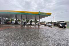
karlappa
|
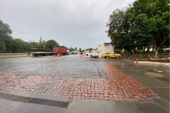
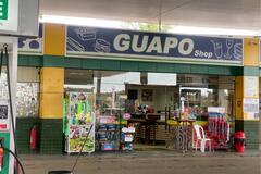
Posto e restaurante 24h, ótimo lugar para dormi. Tem banheiro limpo e com água quente. Atendimento nota 10. Não tem eletricidade. |
Posto Guapo | -24.62475, -50.64456 | |
|
||||
|
ugliek
|
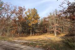
Accessible by car, just off the road. Fire pit, space for a tent. Minimal traffic at night. |
Crown Land | 44.61040, -77.99844 | |
|
||||
|
Michael
|
Stayed here last night and no problems. An empty parking lot near town. Slept here for a night after day hiking at Amicalola Falls. |
Uphill Public Parking Lot | 34.54283, -84.00127 | |
|
yann.espenel
|
Très beau camping ombragé.
|
Moutain splendour camping/caravanpark | -29.01535, 29.46152 | |
|
Jerry
|
Hi everyone. This is Jerry, the owner of Rock Farm.
|
Rock Farm | 17.24702, -88.80095 | |
|
col.thompson
|
Fantastic place. We intended to stay for 2 nights but ended up staying for 2 weeks. Good food, good service comfortable rooms and a campsite on the beach. Dan and Trish the owners go out of their way to ensure a great stay. |
Ngala Beach Lodge | -12.35745, 34.06593 | |
|
omnisrex
|
some idling trucks and a train in the night but otherwise standard Walmart parking. |
Walmart | 36.66876, -76.95386 | |
|
ugliek
|
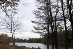
Space for small vehicle. Fire pit. On the water. |
Crown Land Site | 44.60848, -77.99992 | |
|
||||
|
frankie_fuser
|
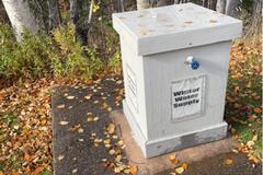
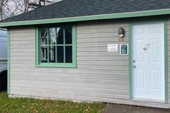
Winter water supply at the ingonish beach campground. It’s a bit hidden beside the hut that has the wifi password on it (also pit toilets right beside it, only pit toilets in the campground). Open all year round. |
Ingonish winter water supply | 46.65406, -60.39944 | |
|
||||
|
M
|
all is as described below. very kind owner, Price 150 ppn. hot shower with donkey. very green grass, pleasant after désert.
|
Kalkfontein Guestfarm | -19.50521, 18.20815 | |